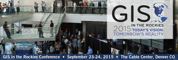
GIS in the Rockies – the Intermountain West’s premier geospatial information and technology conference. returns to The Cable Center in Denver September 23 & 24, 2015. The 28th annual conference has a strong UAV Focus, including:
UAV track hosted by ASPRS-RMR – Sessions focused on understanding the challenges surrounding UAV usage for GIS applications, including, data collection (remote sensing and photogrammetric), data processing, and geo-referencing of results.
2 day Pre-Conference UAV-GIS Workshop – Ground School / Hands-On UAV Flying and Data Collection, including airspace / flight regulations and restrictions, mission planning, camera settings, etc.
Post-Conference (Friday 9/25) Live Demo of UAV applications in the firefighting field
PLUS EXCEPTIONAL GIS CONTENT AND EVENTS:
FULL PROGRAM OF OUTSTANDING SESSIONS
2 GREAT KEYNOTES:
Steve Coast, founder of OpenStreetMap – a user created map of the world emphasizing local knowledge.
Dr. Melinda Laituri, Professor of Geography, Colorado State University Department of Ecosystem Science and Sustainability.
ONSITE JOB FAIR – including resume review, mock interviews, etc.
PRE-CONFERENCE WORKSHOPS (September 21 & 22)
POST-CONFERENCE TOURS (September 25)
OUTSTANDING CONFERENCE SOCIAL EVENT – World Renown GIS itR Geo Quiz, networking, etc.
More information registration available at GISintheRockies.org.

