
Podcast: Play in new window | Download (Duration: 30:22 — 20.9MB)
Subscribe: Google Podcasts | Email | RSS
Australian startup Emesant is using Hovermap technology to map underground environments. Also, drones and wildlife, another PrecisionHawk acquisition, the Chinese CH-7 UAV, remotely recharging drones, and the Robird drone for airport wildlife management.
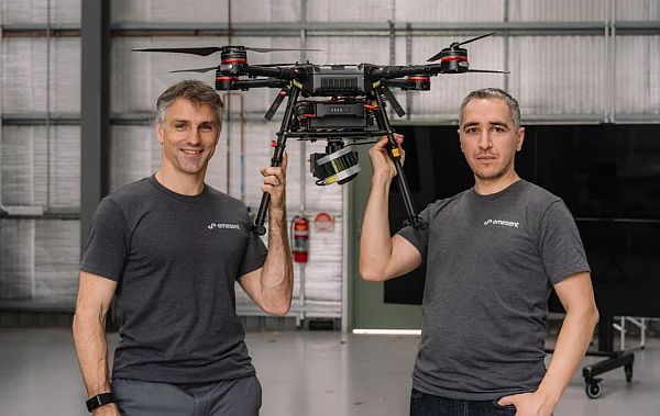
Emesant uses Hovermap technology for mapping underground environments.
UAV News
Hovermap drones dive underground to autonomously map mines and tunnels
Australian-based startup Emesant is developing specialized software that autonomously maps mines and tunnels. The Hovermap technology utilizes LiDAR, collision avoidance sensors, and GPS to map underground environments. Hovermap has been tested 2,000 feet underground in Australia generating 3D maps.
Video: Autonomous underground drone flight beyond line-of-sight using Hovermap payload
The Problem Behind a Viral Video of a Persistent Baby Bear
Video of a mother bear and cub struggling to climb a mountain made national news. After several attempts, the cub was able to climb up and reunite with its mother. However, experts say the video was taken with a drone which was actually terrorizing the bears.
North Carolina drone startup PrecisionHawk makes fifth acquisition of 2018 with Uplift Data Partners
More industry consolidation: PrecisionHawk is acquiring Uplift Data Partners, a provider of drone-based inspection services for the construction and facilities management industry. PrecisionHawk acquired Hazon and InspecTools in September, and Droners and AirVid in February. These after a $75 million funding round in January. PrecisionHawk says they will continue to expand in high-growth industries: energy and renewables, agriculture, construction, infrastructure, and insurance and government.
China Unveils New Stealth Drone With Eye on Middle East Dictators
China is showing a model of the CH-7 UAV at the Zhuhai air show and hopes to begin test flights next year with production in 2022. The 72-foot wingspan, 33 feet long UAV is expected to be sold internationally.
Lab-grown diamonds offer solution to drone flight-time issue
LakeDiamond created a small, square lab-grown diamond which can be used to charge drones in-flight. The diamond is used as the optical component of a low power laser which can recharge photovoltaic cells on the drones’ surface.
Robird drone convinces bird flocks to move away from airports
A peregrine falcon-shaped drone is chasing birds at the Grand Forks International Airport. Aerium Analytics, Clear Flight Solutions, and the U.S. Department of Agriculture are seeking to reduce the number of bird strikes. Geo-fencing prevents the Robird from flying too high or intruding into the airport.